PREMIUM .COM GEOSPATIAL BOUNDARY DATA LOCATION INTELLIGENCE
KNOW EXACTLY WHERE.
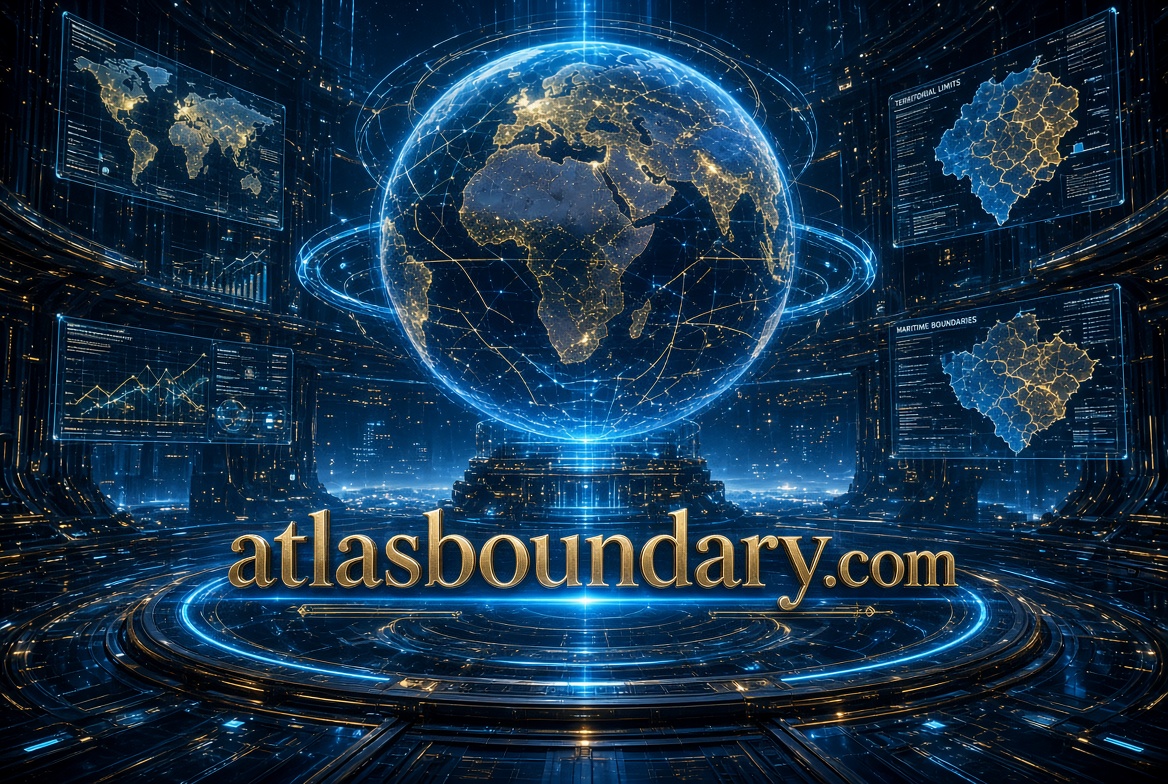
AtlasBoundary.com
A distinctive .com for geospatial intelligence, boundary datasets, parcel mapping, jurisdictions, service territories, environmental zones, infrastructure corridors, geofencing, and the spatial data that defines where the world changes.
ZONE A-14
DISTRICT 07
PARCEL 8842
ATLAS / BOUNDARY VIEW
38.9072° N / 77.0369° W
THE SPATIAL LAYER
Every decision happens somewhere.
Companies understand customers, assets, risks, infrastructure, and markets through data. But much of that data becomes more useful when organizations know exactly which geographic area it belongs to, intersects, enters, leaves, or affects.
BOUNDARY QUERY
COORDINATE
34.0522 / −118.2437
INTERSECTIONS
Municipality MATCH
Service Zone MATCH
Risk Area INTERSECTS
Parcel 8842-A
BOUNDARY INTELLIGENCE
Turn lines on maps into usable data.
01 / DEFINE
Boundaries
Countries · states · counties · cities · districts · parcels · campuses · custom polygons · territories
02 / CONNECT
Spatial Data
Coordinates · addresses · assets · properties · customers · infrastructure · events · sensors · datasets
03 / ANALYZE
Relationships
Within · outside · intersects · overlaps · adjacent · nearest · crosses · enters · exits · contains
04 / ACT
Decisions
Eligibility · routing · pricing · compliance · expansion · risk · serviceability · planning · operations
THE WORLD IS NOT JUST POINTS.
Points tell you where something is.
Boundaries tell you what it belongs to.
A coordinate becomes more meaningful when it can be resolved against the surrounding geography: which parcel, jurisdiction, service area, tax district, watershed, risk zone, sales territory, school district, utility area, or operational region contains it.
ATLAS / LAYER STACK
One Location. Many Geographies.
8 ACTIVE LAYERS
PARCELS
Property & cadastral boundaries
ON
JURISDICTIONS
Administrative & regulatory areas
ON
SERVICE AREAS
Delivery & operating territories
ON
RISK ZONES
Hazard & exposure boundaries
ON
ENVIRONMENT
Watersheds · habitat · protected areas
ON
PUBLIC BOUNDARIES
Map the world as defined.
Countries · administrative divisions · postal areas · census geography · public lands · regulatory regions
PRIVATE BOUNDARIES
Map the world as you operate it.
Sales territories · delivery zones · campuses · operational areas · asset regions · custom geofences
ATLAS APPLICATIONS
01 / PROPERTY
Land & Parcels
Ownership · lots · zoning · development · easements · valuation
02 / UTILITIES
Service Territory
Electric · water · telecom · broadband · infrastructure · coverage
03 / LOGISTICS
Delivery Zones
Routing · serviceability · pricing · dispatch · territories · coverage
04 / RISK
Exposure Mapping
Flood · wildfire · weather · insurance · environmental · infrastructure
05 / ENVIRONMENT
Natural Systems
Watersheds · ecosystems · conservation · agriculture · land use
06 / MARKETS
Territory Intelligence
Sales · franchises · demographics · expansion · catchments · planning
BOUNDARIES CREATE CONTEXT
A dot on a map is location.
A dot inside a boundary is intelligence.
Once locations are joined to geographic boundaries, organizations can aggregate activity, compare territories, determine eligibility, understand exposure, assign responsibility, measure markets, and turn raw coordinates into operational context.
SPATIAL QUERY ENGINE
QUERY / BOUNDARY.INTERSECT
location: 40.7128, -74.0060
layers: parcel, district, service_area, risk
return: boundaries + attributes
✓ 4 BOUNDARY MATCHES RETURNED
THE DATA INFRASTRUCTURE OPPORTUNITY
Boundaries are infrastructure
for spatial computing.
Maps may be the interface, but structured boundary data can power applications behind the scenes: APIs, databases, AI agents, underwriting systems, logistics platforms, property software, climate models, utilities, planning tools, and location-aware applications.
FROM COORDINATE TO CONTEXT
WHY THE NAME WORKS
Atlas gives you the world.
Boundary gives it structure.
“Atlas” suggests comprehensive geographic knowledge, mapping, exploration, and spatial data. “Boundary” adds precision—the exact lines separating properties, jurisdictions, territories, zones, environments, and operating regions. Together, they form a credible name for a platform that organizes the world through the geography that defines it.
CORE POSITIONING
AtlasBoundary.com
A geospatial intelligence brand for discovering, organizing, querying, and analyzing the boundaries that define properties, jurisdictions, territories, infrastructure, environments, and markets.
ATLASBOUNDARY.COM
Know exactly where.
MAP → DEFINE → ANALYZE → DECIDE